Monitoring and intelligence gathering in maritime environments is difficult. The need to cover very large areas and assess multiple vessels, ranging from the very large to the very small, makes identifying threats and determining the adversarial and criminal activities a challenge.
This issue is exacerbated by the quantity, quality, and nature of the data available. Large volumes of information, of varying veracity, delivered in multiple forms, creates a significant burden for analysts.
Consequently, intelligence reporting can be slow, based on incomplete or incorrect data, or risk missing key threats or activities entirely.
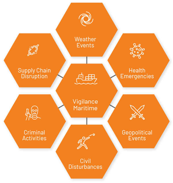
Vigilance Maritime is a browser-based, geospatial intelligence platform that eases the analytic burden and helps ensure that accurate and actionable intelligence is delivered quickly. Users are able to centralize and visualize publicly available data, fused with their own data, for near real-time target tracking and alerts.
Key Benefits of Vigilance Maritime
Facilitates Fast, Low-Burden Analysis
More →
Captures, interprets, visualizes, and delivers data in near real time
Enables Automated Monitoring
More →
Monitors vessel behaviors and compares to historical patterns to identify outliers
Delivers Expertise
More →
Delivers technology developed and supported by a team of dedicated data scientists, intelligence officers, and engineers
Fuses All Information Sources
More →
Combines relevant open-source information with your own data and presents it on a single pane of glass
Provides Tailored Tools
More →
Combines off-the-shelf and customizable tools to meet your requirements